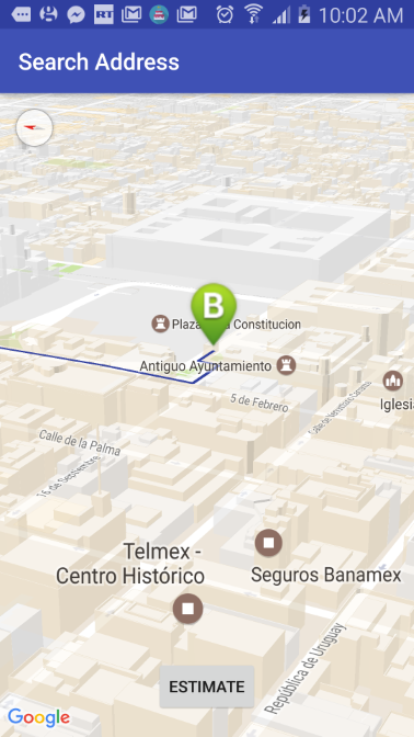
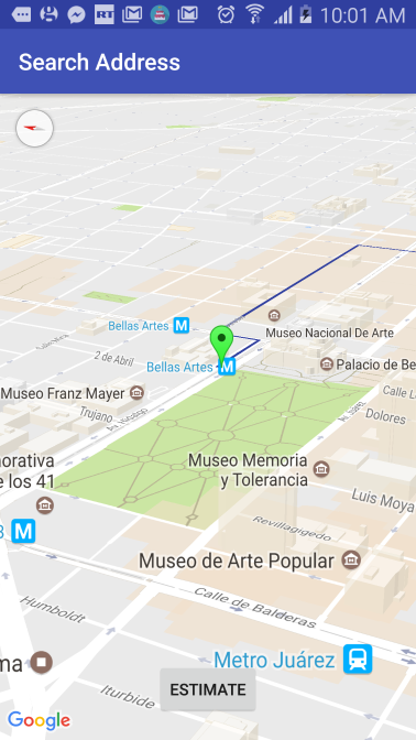
Para empezar llevo poco tiempo con esto y para seguir me gustaría saber cómo podría cambiar (pulsando btnMarker) el color a mi marcador cuando cambio de localización, en concreto quiero que cambie el marcador de color rojo a verde cuando esté en estas coordenadas (41.656337, -0.878863).
Pego código:
public class MapsActivity extends FragmentActivity implements OnMapReadyCallback, GoogleApiClient.ConnectionCallbacks, GoogleApiClient.OnConnectionFailedListener, LocationListener {

    private GoogleMap mMap;
    private final static int MY_PERMISSION_LOCATION = 101;
    private GoogleApiClient googleApiClient;
    private LocationRequest locationRequest;
    protected static final String TAG = "MapsActivity";
    Double myLat = null;
    Double myLong = null;
    Button bGeo;
    Button bMarker;
    ZoomControls zContronls;

    Double myLat2 = null;
    Double myLong2 = null;

    @Override
    protected void onCreate(Bundle savedInstanceState) {
        super.onCreate(savedInstanceState);
        setContentView(R.layout.activity_maps);
        // Obtain the SupportMapFragment and get notified when the map is ready to be used.
        SupportMapFragment mapFragment = (SupportMapFragment) getSupportFragmentManager().findFragmentById(R.id.map);
        mapFragment.getMapAsync(this);

        googleApiClient = new GoogleApiClient.Builder(this)
                .addApi(LocationServices.API)
                .addConnectionCallbacks(this)
                .addOnConnectionFailedListener(this)
                .build();


        locationRequest = new LocationRequest();
        locationRequest.setInterval(15 * 1000);
        locationRequest.setFastestInterval(5 * 1000);
        locationRequest.setPriority(LocationRequest.PRIORITY_BALANCED_POWER_ACCURACY);


        zContronls = (ZoomControls) findViewById(R.id.cntrlZoom);
        zContronls.setOnZoomOutClickListener(new View.OnClickListener() {
            @Override
            public void onClick(View v) {
                mMap.animateCamera(CameraUpdateFactory.zoomOut());
            }
        });

        zContronls.setOnZoomInClickListener(new View.OnClickListener() {
            @Override
            public void onClick(View v) {
                mMap.animateCamera(CameraUpdateFactory.zoomIn());
            }
        });


        bGeo = (Button) findViewById(R.id.btn1);
        bGeo.setOnClickListener(new View.OnClickListener() {
            @Override
            public void onClick(View v) {
                EditText eSearch = (EditText) findViewById(R.id.etxt1);
                String coordenadas = eSearch.getText().toString();
                if (coordenadas != null && !coordenadas.equals("")) {
                    List<Address> addressList = null;
                    Geocoder geocoder = new Geocoder(MapsActivity.this);
                    try {
                        addressList = geocoder.getFromLocationName(coordenadas, 1);
                    } catch (IOException e) {
                        e.printStackTrace();
                    }

                    Address address = addressList.get(0);
                    LatLng latLng = new LatLng(address.getLatitude(), address.getLongitude());
                    mMap.addMarker(new MarkerOptions().position(latLng).title("Mi Posicion"));
                    mMap.moveCamera(CameraUpdateFactory.newLatLng(latLng));
                }
            }
        });


        bMarker = (Button) findViewById(R.id.btnMarcador);
        bMarker.setOnClickListener(new View.OnClickListener() {
            @Override
            public void onClick(View v)
            {
                LatLng myLocation = new LatLng(myLat, myLong);
                mMap.addMarker(new MarkerOptions().position(myLocation).title("Mi Marcador"));

                LatLng myLocation2 = new LatLng(myLat2, myLong2);
                mMap.addMarker(new MarkerOptions().position(myLocation2).icon(BitmapDescriptorFactory.defaultMarker(BitmapDescriptorFactory.HUE_GREEN)));
            }
        });
    }

    @Override
    public void onMapReady(GoogleMap googleMap)
    {
        mMap = googleMap;

        // Add a marker in MyLocation and move the camera
        LatLng sydney = new LatLng(-34, 151);
        //mMap.addMarker(new MarkerOptions().position(sydney).title("Marker in Sydney"));
        mMap.moveCamera(CameraUpdateFactory.newLatLng(sydney));


        if (ActivityCompat.checkSelfPermission(this, Manifest.permission.ACCESS_FINE_LOCATION) == PackageManager.PERMISSION_GRANTED) {
            mMap.setMyLocationEnabled(true);
        } else {
            requestPermissions(new String[]{Manifest.permission.ACCESS_FINE_LOCATION}, MY_PERMISSION_LOCATION);
        }
    }


    //PERMISOS: ALLOW or DENY
    @Override
    public void onRequestPermissionsResult(int requestCode, @NonNull String[] permissions, @NonNull int[] grantResults) {
        super.onRequestPermissionsResult(requestCode, permissions, grantResults);

        switch (requestCode) {
            case MY_PERMISSION_LOCATION:

                if (grantResults[0] == PackageManager.PERMISSION_GRANTED) {
                    if (ActivityCompat.checkSelfPermission(this, Manifest.permission.ACCESS_FINE_LOCATION) == PackageManager.PERMISSION_GRANTED) {
                        mMap.setMyLocationEnabled(true);
                    }
                } else {
                    Toast.makeText(getApplicationContext(), "Esta app requiere permisos", Toast.LENGTH_SHORT).show();
                    finish();
                }
                break;
        }


    }


    @Override
    public void onConnected(@Nullable Bundle bundle) {
        requestLocationUpdates();
    }

    private void requestLocationUpdates()
    {
        if (ActivityCompat.checkSelfPermission(this, Manifest.permission.ACCESS_FINE_LOCATION) == PackageManager.PERMISSION_GRANTED )
        {
            LocationServices.FusedLocationApi.requestLocationUpdates(googleApiClient, locationRequest, this);
        }

    }

    @Override
    public void onConnectionSuspended(int i)
    {
        Log.i(TAG, "Conexión Suspendida");
    }

    @Override
    public void onConnectionFailed(@NonNull ConnectionResult connectionResult)
    {
        Log.i(TAG, "Conexión Fallida: ConnectionResult.getErrorCode = " + connectionResult.getErrorCode());
    }

    @Override
    public void onLocationChanged(final Location location)
    {

        myLat = location.getLatitude();
        myLong = location.getLongitude();

        myLat2 = 41.656337;
        myLong2 = -0.878863;

    }

    @Override
    protected void onStart()
    {
        super.onStart();
        googleApiClient.connect();

    }

    @Override
    protected void onPause()
    {
        super.onPause();
        if (ActivityCompat.checkSelfPermission(this, Manifest.permission.ACCESS_FINE_LOCATION) == PackageManager.PERMISSION_GRANTED )
        LocationServices.FusedLocationApi.removeLocationUpdates(googleApiClient, this);

    }

    @Override
    protected void onResume()
    {
        super.onResume();
        if(googleApiClient.isConnected())
        {
            requestLocationUpdates();
        }
    }

    @Override
    protected void onStop()
    {
        super.onStop();
        googleApiClient.disconnect();
    }
}

